If you’re looking for high-quality, free vector graphics of the Colorado state map, you’re in the right place! Whether you need a detailed county-labeled map or a simple outline, these vector graphics can be perfect for personal and professional projects. Let’s explore these two versions of the Colorado state map and how you can use them effectively.
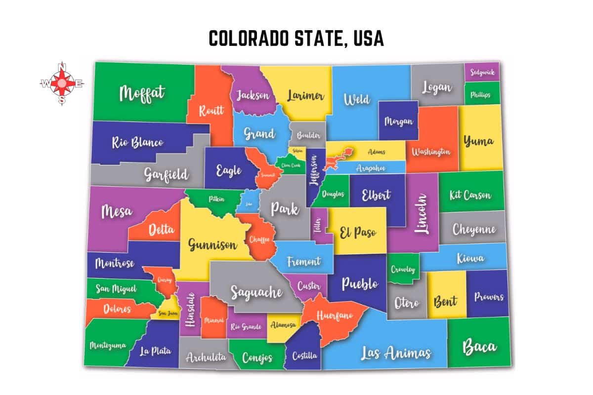
Colorful Colorado State Map Labeled with Its Counties – Free Vector Graphics
This vibrant and detailed Colorado state map features all the counties clearly labeled, making it a great resource for educational, business, and design purposes.
Key Features:
- Bright & Eye-Catching Colors: Each county is distinguished by a unique color for easy identification.
- High-Resolution Vector Format: Crisp and clear graphics suitable for resizing without losing quality.
- Easy to Edit: Modify colors, labels, or elements as needed using vector design software.
- Perfect for Print & Digital Use: Ideal for presentations, websites, posters, and infographics.
Where to Use It:
- Educational Materials: Teachers and students can use this map for learning about Colorado’s geography.
- Business & Marketing: Useful for businesses that operate in multiple counties.
- Personal & Professional Design Projects: Add it to your graphic designs, reports, or posters.
- Travel & Tourism: A helpful visual aid for travelers planning routes across Colorado.
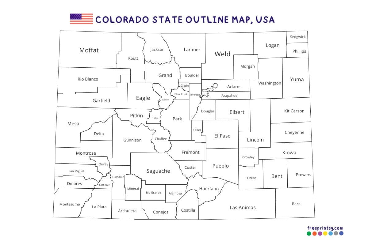
Colorado State Map Outline – Free Vector Graphics

If you need a simpler, more versatile map of Colorado, this outline version is a great choice. It provides a clean and professional look while still showcasing all the counties.
Key Features:
- Minimalist & Clear Design: Perfect for customization and adding your own details.
- Lightweight File Size: Ideal for both print and web use without slowing down your projects.
- Fully Editable: Adjust the design to fit your needs.
- Black & White Format: Great for labeling, coloring activities, and professional reports.
Where to Use It:
- Educational Worksheets: Ideal for geography quizzes and coloring activities.
- Presentations & Reports: A neat and professional map for data visualization.
- Business & Planning: Useful for logistics, sales regions, and mapping business territories.
- DIY Projects & Custom Designs: Add your own elements, text, or branding for unique designs.
Final Thoughts
Both versions of the Colorado state map vector graphics serve different purposes but are equally valuable. Whether you need a colorful county-labeled map or a simple outline, these free vector graphics are versatile, editable, and easy to use. Download them today and bring your projects to life with high-quality Colorado state maps!
Looking for More Free Printables?
Browse our Printable Maps category for a diverse collection of free vector maps.